
Landscape ecology, dynamics and ecosystem services of riparian forest corridor: the case study of Yasothorn, Thailand
Article Sidebar
Main Article Content
Abstract
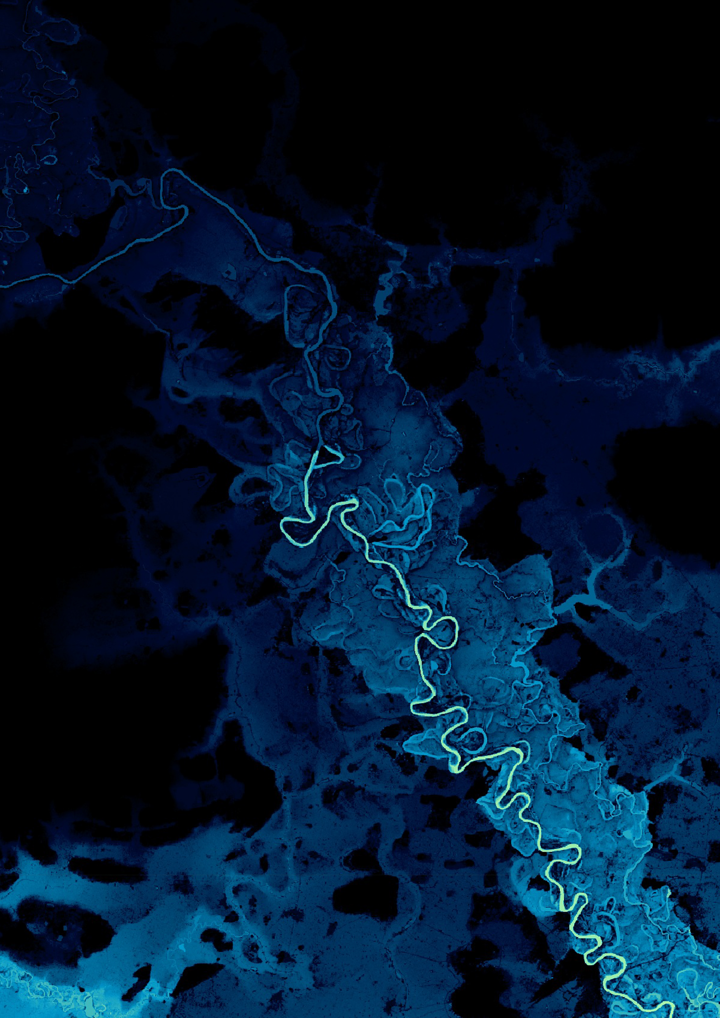
Riparian forest (RF) distributes along riverbanks, considered part of the river-floodplain system, provides longitudinal, lateral and vertical connectivity, as well as numerous ecological functions and ecosystem services (ES). In Yasothorn, many communities sustain their livelihoods through agriculture, freshwater fishing, and benefits derived from ES. This study aims to identify the structure and dynamics of RF, ES benefits to agrarian communities, and monitor changes using two main methods: (1) classifying landscape structures, detecting FPD extents, and riparian coverage through remote sensing, and (2) conducting field observation. The results indicate that RF predominantly located within an extensive floodplain ranging from 3.00-8.00 kilometers. The expansion and contraction of RF coverage are directly correlated with the occurrence of FPD. Ecosystem services from RF are essential for food security, the continuation of livelihoods, and household economy. The Loss of RF is primarily caused by land cover change for farmlands, reservoirs, and urban development, as well as FPD alteration due to dams and roads. These changes have significantly impacted the availability of natural foods sources and benefits derived from natural capital.
Article Details

This work is licensed under a Creative Commons Attribution-NonCommercial-NoDerivatives 4.0 International License.
References
Adger, W.N. et al. (2018). Ecosystem services for well-being in deltas: current knowledge and understanding. In Nicholls, R. J., et al (Ed.), Ecosystem services for well-being and deltas: integrated assessment for policy analysis (pp. 3-26). Switzerland: Springer Nature.
Correa, S. et al. (2022). Biotic indicators for ecological state change in Amazonian floodplains. BioScience, 72, 753-768.
Department of Public Works and Town & Country Planning. (2012). Phangmuang ruam changwat Yasothon phoso 2555 (In Thai) [Yasothorn Provincial Comprehensive Land Use Plan, B.E. 2555]. Royal Gazatte, 129(81), 16-22.
European Space Agency. (2021).Copernicus global digital elevation model [dataset]. Retrieved June 16, 2022, from https://doi.org/10.5270/ESA-c5d3d65
Griggs, F.T. (2009). California Riparian Habitat Restoration Handbook. Sacramento: California Riparian Habitat Joint Venture.
Haase , D. (2017). Urban wetlands and riparian forests as a nature-based solution for climate change adaptation in cities and their surroundings. In Kabisch, N., et al (Ed.), Nature-based solutions to climate change adaptation in urban areas (pp. 111-121) Cham: Springer Open.
Hussain, S., et al. (2010). Conceptual frameworks for considering the benefits of nature. In Wittmer, H. (Ed.), The economics of ecosystems and biodiversity for local and regional policy makers (pp. 28-40) Retrieved March 3, 2022, from https://teebweb.
a. org/publications/teeb-for/local-and-regional-policymakers/.
Hydrology Irrigation Center for Upper Northeastern Region. (n.d.). Discharge hydrograph. Retrieved December 7, 2022, from http://hydro-3.rid.go.th/
Johnson, C.W., & Buffler, S. (2008). Riparian buffer design guidelines for water quality and wildlife habitat functions on agricultural landscapes in the intermountain west. Colorado: United States Department of Agriculture.
Junk, W.J., Bayley, P., & Sparks, R. E. (1989). The flood pulse concept in river-floodplain systems. In Dodge, D.P. (Ed.), Proceedings of the international large river symposium (pp. 110-127). Ottawa: Canadian Department of Fisheries and Oceans.
Kaewthumrong, K. (2018). Kan rabu khopkhet phunthi rap namthuam thung lae khwam samphan rawang phonlawat khong phum that kap kan praptua khong manut korani sueksa lum maenam Mun ton klang (In Thai) [Identification of floodplain boundary and relationship between landscape dynamic and human adaptation : case study of middle Mun river basin] (Master's thesis), Bangkok: Chulalongkorn university.
Keleş Özgenç, E. (2024). Exploring the wide-ranging ecosystem services of riparian vegetation on a global scale. Turkish Journal of Forestry | Türkiye Ormancılık Dergisi, 25, 233-243.
Mariem, M., & Pérez-Pérez, JM. (2020). Understanding of adventitious root formation: what can we learn from comparative genetics?. Frontiers in Plant Science, 11.
Murye, A. et al. (2023). The nexus between ecosystem services, livelihood strategies and social well-being of riparian communities around Sandleni Mntjuzalala wetlands, Eswatini. Journal of Earth and Environmental Sciences Research, 5(10), 1-6.
Naiman, R.J., & Décamps, H. (1997). The ecology of interfaces riparian zones. Annual Review of Ecology and Systematics, 28, 621-658.
Nilapornkun, K., & Thaitakoo, D. (2018). Kansueksa rabop niwet nam lak lae niwet borikan khong thung nam lak phuen thirap lum samliam maenam Chaophraya korani sueksa chumchon Lat Chado amphoe Phak Hai changwat Phra Nakhon Si Ayutthaya (In Thai) [Flood pulse dynamics and ecosystem services of Chaophraya delta a case study of Ladchado community Amphoe Pukhai Ayutthaya province] (Master 's thesis), Bangkok: Chulalongkorn university.
Poopat, et al. (2018). Pa bung pa tham phak i san (In Thai) [Riparian wetland and wet forest in the north eastern Thailand]. Bangkok: Forest Botany Division, Forest and Plant Conservation Research Office, Department of National Park, Wildlife and Plant Conservation.
Riis, T., et al. (2020). Global overview of ecosystem services provided by riparian vegetation. BioScience, 70(6), 501-514.
Royal Thai Survey Department (1954). Aerial photography of YasothornThailand. Bangkok: Royal Thai Survey Department.
Royal Thai Survey Department (2013). Topography map of Yasothorn L7018 series [Map]. Bangkok: Royal Thai Survey Department.
Schindler, S. et al. (2014). Multifunctionality of floodplain landscapes: relating management options to ecosystem services. Landscape Ecology, 29(2), 229-244
Singh, S., & Dudley, N. (2010). Ecosystem services in rural areas and natural resource manage- ment. In Wittmer, Heidi (Ed.), The economics of ecosystems and biodiversity for local and regional policy makers: UNEP TEEB. Retrieved March 8, 2022, from https:/ /teebweb.org/publications/teeb/.
U.S. Geological Survey. (2022). Landsat 8 OLI/TIRS collection 1 Level-1. Retrieved April 22, 2022, from https://glovis.usgs.gov/
Yasothorn Provincial Administrative Organization. (2019). Khomun setthakit (In Thai) [Economy information]. Retrieved February 21, 2025, from https://www.yasothon.go.th/web/ file/menu1-4.html
