The Role of the Planning and Architecture Design of Religious Buildings After The Earthquake
Main Article Content
Abstract
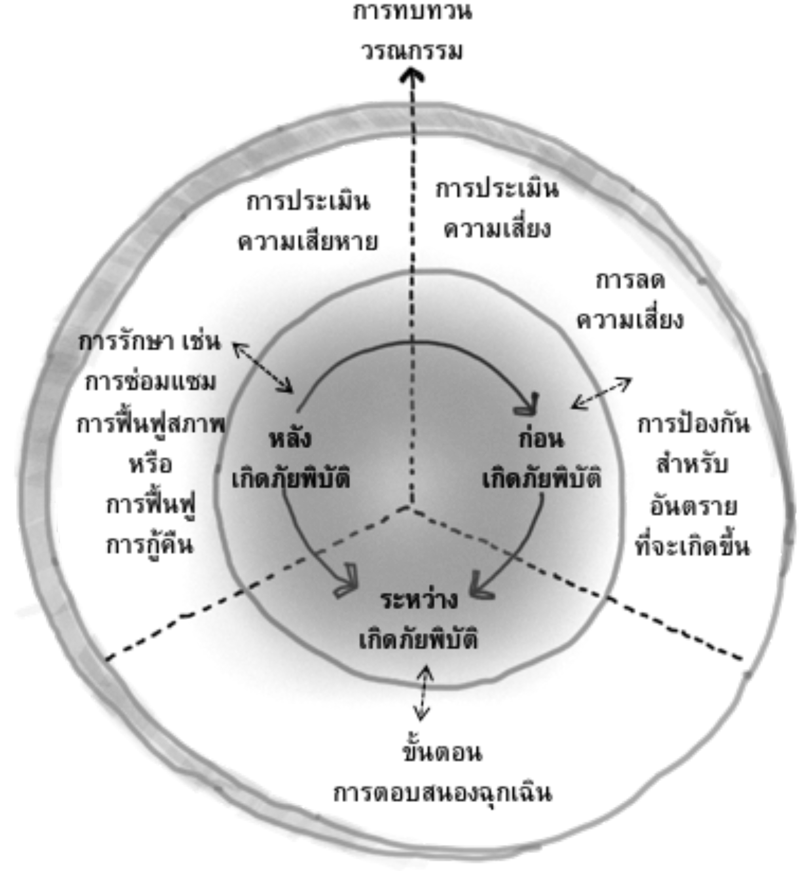
This paper demonstrates the application of post-disaster recovery processes to design and planning religious architecture in Chiang Rai, 2014. Fundraising revitalization process for architectural design is another important process after the disaster. As well as agency or organization it is another factor that is important. Organizations that play a role in restoring core architecture from earthquakes include: Northern Regional (Lanna) Committee (2014-2016), Architects Siamese Association Under the Royal Patronage (ASA) this is another group that has driven the fundraising process to members and network partners through the activity model, earning money and making merit. The study found that the process of surveying religious buildings had received 99 earthquakes and was selected through four factors, including 1) the architecture was severely damaged; 2) Architecture that doesn’t receives a budget for reconstruction; 3) A restoration period and; 4) the process of community involvement or organization networks. To contribute to the decision support tools for the restoration of valuable areas or architectures damaged by earthquake disasters. There are 2 places of worship (Wat Mae Lao Wanaram and Wat Dong Mafuang) that are in the process of reconstruction, layout plan, architecture design and to raise funds for reconstruction until further architectural construction.
Downloads
Article Details

This work is licensed under a Creative Commons Attribution-NonCommercial-NoDerivatives 4.0 International License.
All material is licensed under the terms of the Creative Commons Attribution 4.0 International (CC-BY-NC-ND 4.0) License, unless otherwise stated. As such, authors are free to share, copy, and redistribute the material in any medium or format. The authors must give appropriate credit, provide a link to the license, and indicate if changes were made. The authors may do so in any reasonable manner, but not in any way that suggests the licensor endorses you or your use. The authors may not use the material for commercial purposes. If the authors remix, transform, or build upon the material, they may not distribute the modified material, unless permission is obtained from JARS. Final, accepted versions of the paper may be posted on third party repositories, provided appropriate acknowledgement to the original source is clearly noted.
References
Carter, W. N. (2008). Disaster management: A disaster manager’s handbook. Philippines: Asian Development Bank.
Coordinating center for earthquake monitoring in Chiang Rai. (2014). Summary of earthquake disaster costs, May 30, 2014. Chiang Rai, Thailand: Department of Public Works and Town &Country Planning, Northern Thailand.
Daungthima, W., & Hokao, K. (2013). Analysing the possible physical impact of flood disaster on cultural heritage in Ayutthaya, Thailand. International Journal Sustainable Future for Human Security J-SustaiN, 1(1), 35-39.
Daungthima, W., & Hokao, K. (2015). Development of PCH plug in tools to protect cultural heritage from flood risk. Journal of Architectural/Planning Research and Studies, 12(1), 123-133.
Department of Public works and town & country planning, Chiang Rai province. (2014). Active Fault and vulnerable of cities. Retrieved January 5, 2018 from https://earthquake.usgs.gov/product/shakemap/usb000qack/us/1399289290694/download/intensity.jpg.
Geotechnical Engineering Research and Development Center (GERD). (2014). The damage by the earthquake disaster in Chiang Rai province. Retrieved January 3, 2018 from http://paipibat.com/?page_id=24468.
Horayangkura, V. (2017). Guidelines for the development of urban design through fulfilling professionalrole. Journal of Architectural/Planning Research and Studies (JARS), 4(2), 1-13.
Nuntasiri, P., Wutthikun V., & Maneekorn, N. (2017). Guidelines for land use in response to Chiang Raiearthquake disaster. Built Environment Inquiry Journal (BEI), 16(1), 143-160.
Srinuraka, N., Mishimab, N., Fuchikamic, T., & Duangthima, W. (2016). Analysis of urban morphology andaccessibility character to provide evacuation route in historic area. Procedia - Social and Behavioral Sciences, 216, 460–469.
Srivanit, M., & Selanon, P. (2017). GIS-based land suitability analysis to support Transit-Oriented Development(TOD) master plan: A case study of the campus station of Thammasat University and its surrounding communities. International Journal of Building, Urban, Interior and Landscape Technology (BUILT), 9, 49-60.
UNESCO. (2010). Managing disaster risks for world heritage. France: UNESCO World Heritage Centre.


