
การศึกษารูปแบบการใช้ที่ดินแบบผสมผสาน ด้วยเครื่องมือการวิเคราะห์โครงข่ายเมืองบริเวณโดยรอบสถานีขนส่งระบบราง ในกรุงเทพมหานคร
Article Sidebar
Main Article Content
บทคัดย่อ
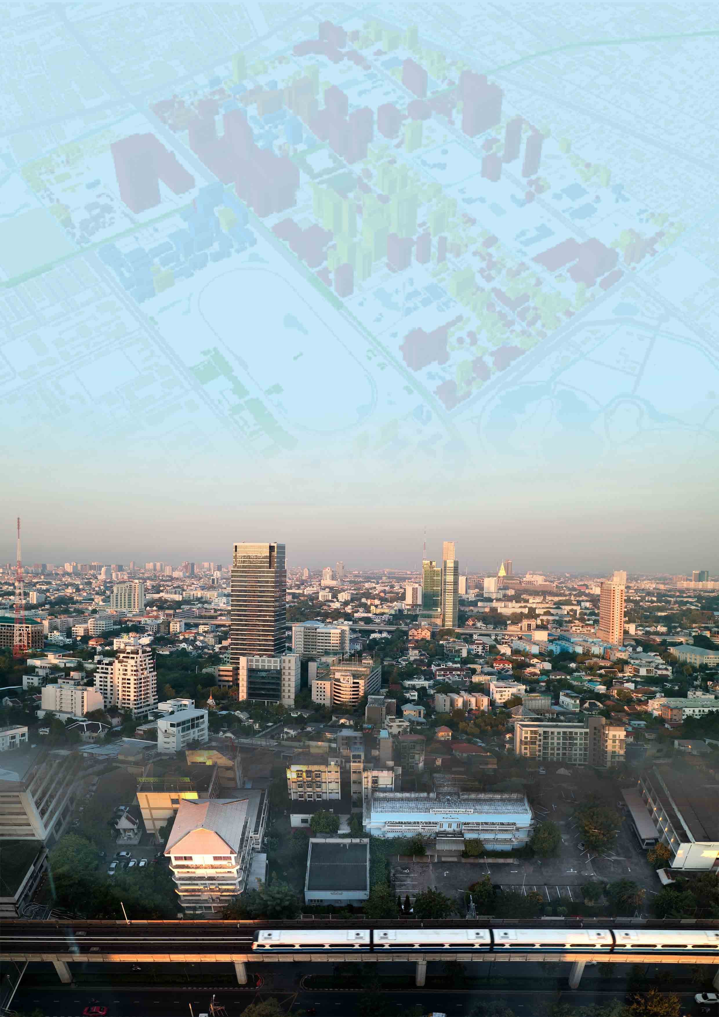
บทความนี้มุ่งศึกษาสู่ประเด็นปัญหาการเปลี่ยนแปลงการใช้ที่ดินที่เกิดจากผลกระทบของการพัฒนาโครงสร้างพื้นฐานขนาดใหญ่ของเมือง ได้แก่ ถนนและการขนส่งมวลชนระบบราง มีวัตถุประสงค์ คือ 1) เพื่อศึกษาการเปลี่ยนแปลงการใช้ที่ดินของกรุงเทพมหานคร โดยใช้เครื่องมือการวิเคราะห์โครงข่ายเมือง 2) เพื่ออธิบายความสัมพันธ์ระหว่างของปัจจัยด้านเศรษฐกิจ สังคม วิถีชีวิต และการเดินทางของผู้ใช้บริการและผู้อยู่อาศัย และ 3) เสนอแนะมาตรทางด้านการผังเมือง เพื่อส่งเสริมการใช้ประโยชน์ที่แบบผสมผสานบริเวณโดยรอบสถานีขนส่งระบบราง โดยทำการศึกษาและเก็บรวบรวมข้อมูลด้วยการสำรวจ ทั้งทางด้านกายภาพ โครงการอาคารสูงโดยรอบสถานีรถไฟ และสำรวจด้วยแบบสอบถามด้านทัศนคติการอยู่อาศัยในอาคารสูง ความเข้าใจต่อแนวคิดการพัฒนาที่ดินแบบผสมผสาน และทำการวิเคราะห์โครงข่ายเมือง การศึกษานี้นอกจากได้แสดงให้เห็นการเข้าถึง การวางตัวกลุ่มอาคาร และการเดินทางของผู้อยู่อาศัยและผู้ใช้บริการ แล้วยังแสดงให้เห็นถึงเส้นทางของการเดินทางที่สิ้นสุดจาก อาคารที่เป็นจุดเริ่มต้น จนถึง จุดสิ้นสุดของการรวมศูนย์เดินทางของผู้คน
Article Details
เอกสารอ้างอิง
Bangkok Metropolitan Administration. (2013). Phang meuang ruam krungthep pho so 2556.(In Thai) [Bangkok master plan B.E. 2556]. Retrieved from http://www.bangkok.go.th/cpdonestopservice/page/main/1629/ผังเมืองรวม-กทม-2556
Denpaiboon, C. (2017). Planning issue from zoning to mix - use development concept for urban structures sustainability. Bangkok: Faculty of Architecture and Planning Thammasat University Press.
Elena, S. (2014). Urban network analysis toolbox. Retrieved from http://www.urban-knowledge.nl/20/ urban-network-analysis-toolbox
Google Earth (2020). Aerial photograph. Retrieved from http://maps.google.com
Gutnov, A.E. (1984). Evolution of urban planning, Moscow: Stroiizdat.
Lau, S.S.Y., Giridharan, R. & Ganesan, S. (2015). Multiple and intensive land use: case studies in Hong Kong. Habitat International, 29(3), 527-546.
Lee, J.H., Ostwald, M.J. & Gu, N. (2020). Design thinking: creativity, collaboration and culture. Basel: Springer International Publishing.
Lin, Z. & Gámez, J.L.S. (2018). Vertical urbanism: designing compact cites in China. New York: Routledge.
Realist. (2016). Condominium near BTS Thong-Lor, within 200 meters. Retrieved from https://www.realist.co.th/blog/คอนโด-ทองหล่อ/
Rowley, A. (1998). Planning mixed use development: issues and practice. London: Royal Institute of Chartered Surveyors.
Salaryman Estator. (2019). Magnolias ratchadamri boulevard. Retrieved from https://www. livinginsider.com/inside_topic/5062/1/Magnolias-RatchadamriBoulevard.html
Sevtsuk, A. & Mekonnen, M. (2012). Urban network analysis toolbox. International Journal of Geomatics and Spatial Analysis, 22(2), 287-305
Sopita, P. (2015). Panorama view CBD Silom-Sathorn from M Silom. Retrieved from https://thinkofliving.com
Witherspoon, R.M.G., Robert, E. & Abbett, J.P. (1976). Mixed-use developments: new ways of land use. Washington, D.C.: Urban Land Institute.
